New South Wales mining records: MinView, DIGS and local evidence
A source-led route through more than 500 MinView layers, over 140,000 DIGS documents, historical title data, reports, plans and family records.
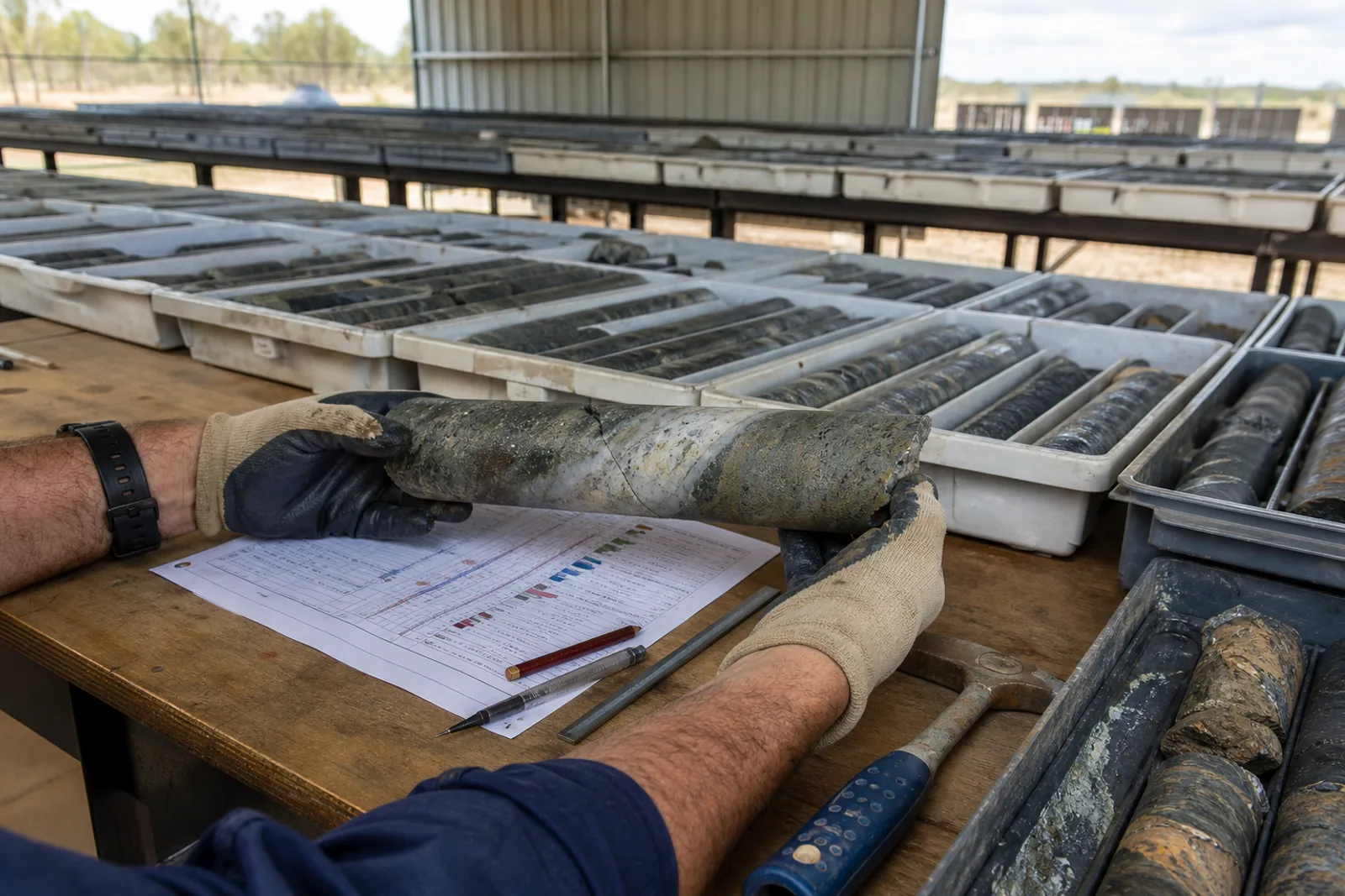
Start in MinView to locate titles, geology, mineral occurrences, drillholes and samples. Follow identifiers into DIGS for open-file reports, mine plans, environmental material and historical documents. Confidential items remain unavailable until the statutory release conditions are met.
Use each system for the question it can answer.
A map, title summary, report, archive file and family recollection are different evidence classes. The sequence below preserves those differences so a lead does not become an unsupported fact.
- 01Map and download portal
MinView ↗
What it holds. More than 500 layers including current and historical titles, occurrences, geology, drillholes, geochemistry, core locations, property and constraints.
Boundary. Title and spatial layers are discovery evidence. Current legal standing and access require the responsible titles and land authorities.
- 02Document repository
DIGS ↗
What it holds. More than 140,000 exploration, geological, mining, geotechnical, map, plan and heritage documents, many open file.
Boundary. Some company reports remain confidential for statutory periods. Search results and OCR can miss historical spelling.
- 03Release and coverage guidance
NSW exploration reports guidance ↗
What it holds. Explanation of annual-report release, open-file status and document types including geochemistry, geophysics, drill logs and mine plans.
Boundary. A report’s presence does not validate later company claims or establish today’s resource, reserve, approval or value.
From family note or map point to a cited record.
- 01Write the known facts. Exact source wording, name variants, place, date range, commodity or material, company and identifier.
- 02Locate, do not conclude. Use the spatial viewer to find the right district, layer and record ID. Save the layer name and access date.
- 03Open the underlying document. Follow title, report, plan or archive references. Record its creator, date, purpose and access conditions.
- 04Test aliases and chronology. Compare former company, mine, lease, field and locality names; do not merge nearby records by proximity alone.
- 05Separate present from past. Historical geology, production, ownership and sale events do not establish current status, value or rights.
- 06Add family context carefully. Label direct experience, family recollection and interpretation; document permission and the item’s provenance.
Geology is not a product sheet.
For quarry materials and sedimentary units, distinguish the mapped geology, recorded occurrence, approval or title, and actual product. Mudstone, shale, clay, sandstone and aggregate terms may appear at different levels of that evidence chain.
Use the New South Wales register for our published mine and quarry records, then return to the issuing authority for current decisions.
The public system can show the file. Families often explain the place.
A company name, mine-plan reference, opal-field claim number, work photograph or former worker’s terminology may resolve a DIGS search that a surname alone cannot.
Using these records for an old sale or a possible listing
Public title, project and company records can help identify an asset and its history. They do not prove that an asset was legally transferred, is currently for sale, has a valid mandate or can be valued from public data. Historical sale pages require an express completion disclosure or remain labelled as publisher-reported. Current owners can register an asset confidentially, but Mines & Quarries does not market, negotiate or transact while the licensed brokerage gate remains closed.