Queensland mining records: GeoResGlobe, authority searches and archives
How to separate current permits, historical permits, abandoned-working clues, open geoscience and family recollection in Queensland.
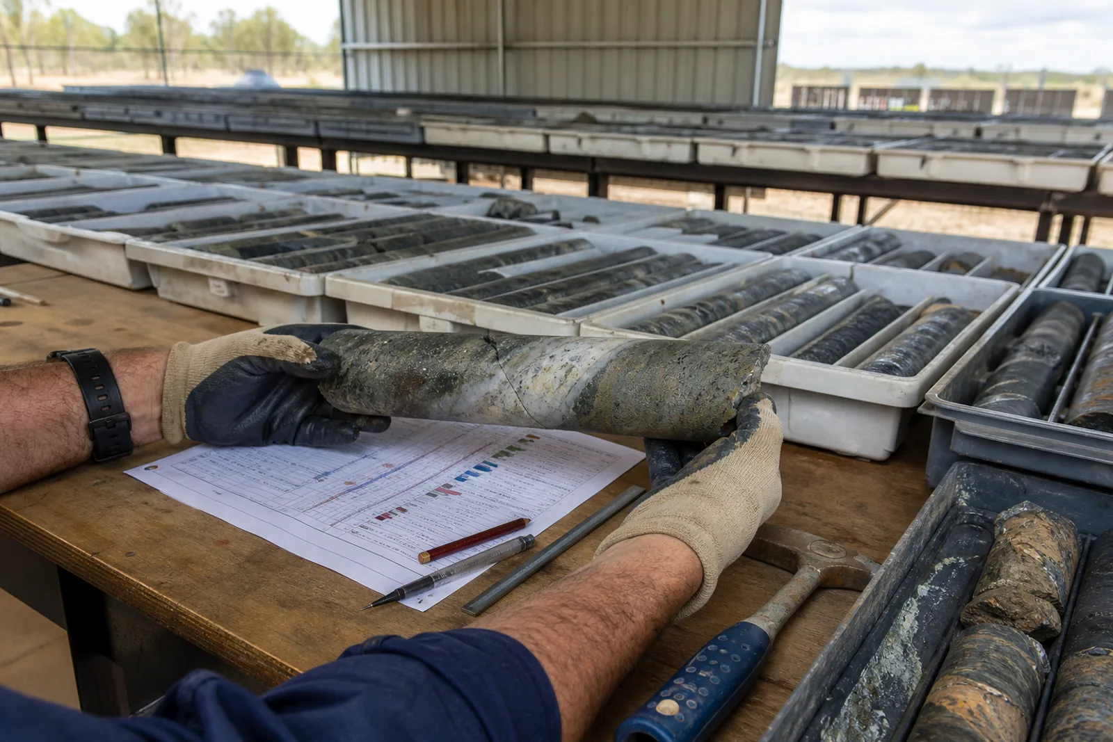
GeoResGlobe provides free access to more than 600 spatial layers and a permit-over-time tool. Public resource-authority searches and undermining reports add administrative context. Queensland explicitly warns that historical abandoned-mine records are incomplete and their reliability cannot be guaranteed.
Use each system for the question it can answer.
A map, title summary, report, archive file and family recollection are different evidence classes. The sequence below preserves those differences so a lead does not become an unsupported fact.
- 01Map and data viewer
GeoResGlobe ↗
What it holds. More than 600 layers covering permits, production and historical authorities, geology, geophysics, native title and administrative boundaries.
Boundary. The viewer assists research and administration; it is not access permission or a substitute for title, environmental, safety or cultural-heritage checks.
- 02Authority and undermining search
Public searches for resource authorities ↗
What it holds. Resource-authority reports and a route to historical undermining information for a land parcel.
Boundary. Queensland states that historical abandoned-mine information is incomplete and reliability cannot be guaranteed.
- 03Government archive guide
Queensland State Archives mining-records guide ↗
What it holds. A creator-based route through mining administration, wardens and historical record series from the nineteenth century onward.
Boundary. Many series require catalogue work and may not be digitised. Sensitive or culturally significant material requires appropriate handling.
- 04Production-history route
Queensland historical mineral statistics guide ↗
What it holds. Instructions for accessing Department of Mines annual mineral statistics from 1877 onward through the GSQ Open Data Portal.
Boundary. Regional production statistics do not identify every worker, site, transaction or present resource.
From family note or map point to a cited record.
- 01Write the known facts. Exact source wording, name variants, place, date range, commodity or material, company and identifier.
- 02Locate, do not conclude. Use the spatial viewer to find the right district, layer and record ID. Save the layer name and access date.
- 03Open the underlying document. Follow title, report, plan or archive references. Record its creator, date, purpose and access conditions.
- 04Test aliases and chronology. Compare former company, mine, lease, field and locality names; do not merge nearby records by proximity alone.
- 05Separate present from past. Historical geology, production, ownership and sale events do not establish current status, value or rights.
- 06Add family context carefully. Label direct experience, family recollection and interpretation; document permission and the item’s provenance.
Geology is not a product sheet.
A historical shaft or undermining result should be treated as a safety and research lead, not a field invitation. For quarry materials, verify the specific authority, land, approval, product evidence and present status separately.
Use the Queensland register for our published mine and quarry records, then return to the issuing authority for current decisions.
The public system can show the file. Families often explain the place.
A mining-warden district, permit number, pack route, field name, school, store or exact local term can reconnect an oral history to the Queensland archive.
Using these records for an old sale or a possible listing
Public title, project and company records can help identify an asset and its history. They do not prove that an asset was legally transferred, is currently for sale, has a valid mandate or can be valued from public data. Historical sale pages require an express completion disclosure or remain labelled as publisher-reported. Current owners can register an asset confidentially, but Mines & Quarries does not market, negotiate or transact while the licensed brokerage gate remains closed.